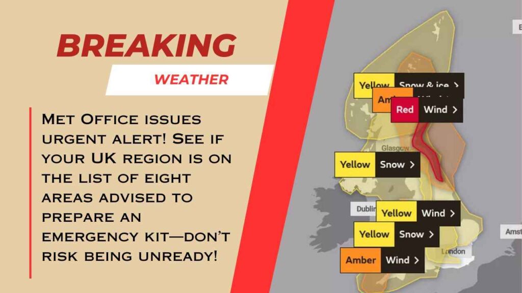
The Met Office is currently on a weather alert regarding rain because as such as 50mm may fall in only a few hours, especially in some regions of Surrey and East Sussex, on Thursday.
Brits have also been cautioned to be prepared to receive heavy rains that would result in flooding.
The Met Office has emphasized that residents in eight areas must pack what it has termed as emergency kit in case they experience floods, power outages, and travelling inconveniences during the early morning of Thursday. Throughout Thursday, weather warnings such as the rains are there with southern England most probably bearing the brunt of the downpours and wind.
“Flooding of a few homes and businesses is likely…Spray and flooding on roads leading to difficult driving conditions and increased chance of accidents, making journey times longer,” the Met Office says on its website.
Essentials like insurance documents and contacts list, a torch and extra batteries, a first aid kid with any prescription drugs and pet and baby supplies should be contained in the emergency kit.
Although the Environment Agency has no flood warnings nor alerts at present, the Met Office advises people living in the below wider areas to pack the necessary items prior to the rains falling on Thursday morning. The locations under the weather alert of rain are:
- East Midlands
- East of England
- London and the South East of England
- North East England
- South West England
- Wales
- West Midlands
- Yorkshire & Humber
Among the above, weather warning includes the whole of London and South East of England, the Southwest of England and the East of England. It borders on areas of all the other segments, including the West Midlands.
The Met Office continues: “Check if your property could be at risk of flooding. If so, consider preparing a flood plan and an emergency flood kit. Give yourself the best chance of avoiding delays by checking road conditions if driving, or bus and train timetables, amending your travel plans if necessary.”
The band of low pressure is moving eastwards across the UK and it may drop up to 50mm of rain within a few hours.
Forecasters are pretending that the worst areas will be those in Surrey, West and East Sussex. Nevertheless, it will flood hilly areas of North Devon and Cornwall as well. Over 16mm of rain has fallen on the Scottish Highlands on Tuesday but today it is looking drier across most of the regions unless the low band of pressure takes place late on Tuesday night.
The weather warning adds: “There is at least a medium likelihood that an extensive, and in places heavy swathe of rain will move into southwestern Britain during Wednesday evening and spread quickly northeast, with totals by early Thursday morning of widely 20-30mm, and for some places 30-50mm.


